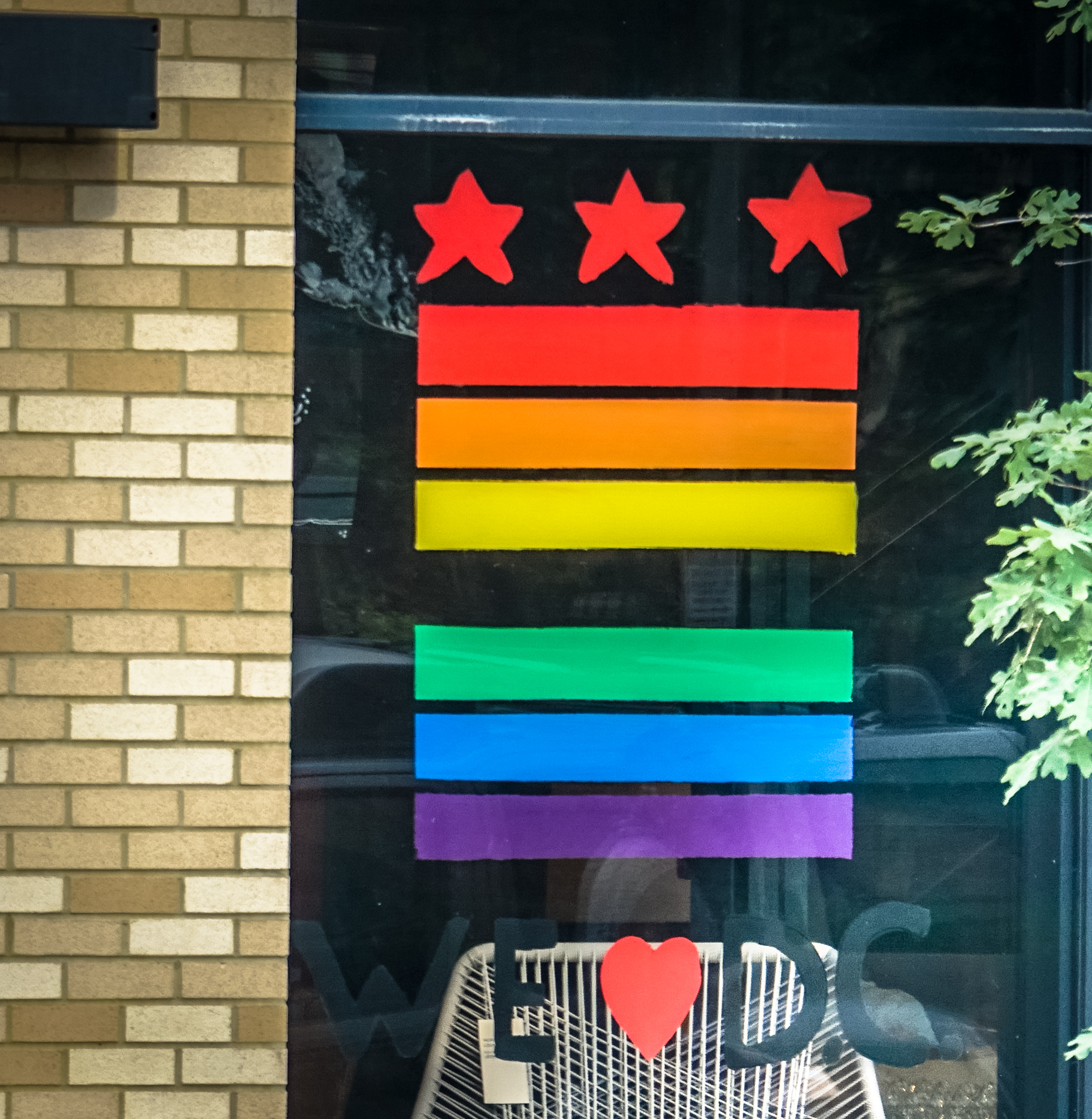
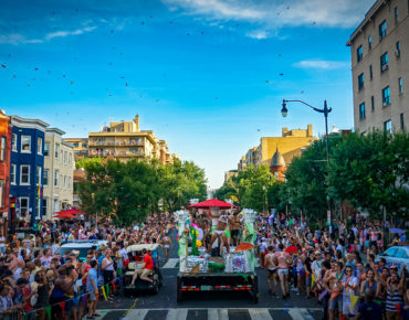
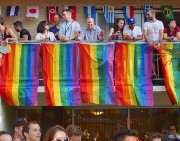
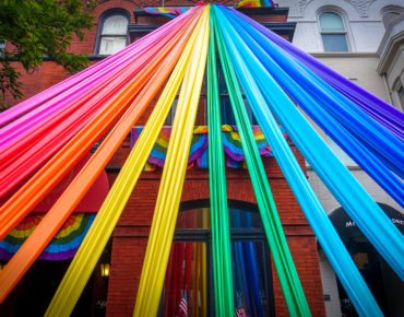
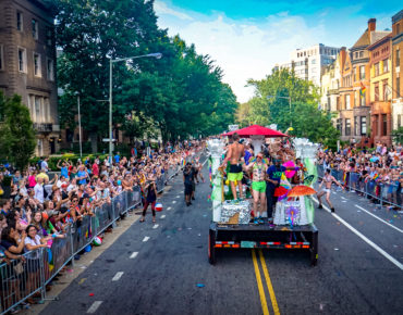
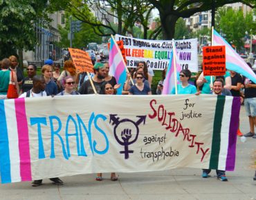
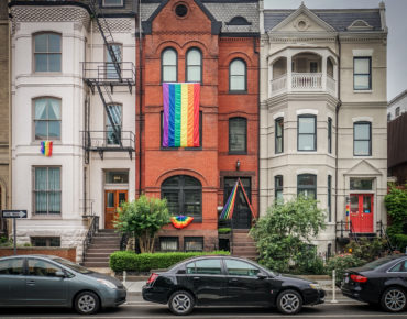
Washington, D.C. is home to one of the largest pride celebrations in the country. Started in 1975, the celebration now referred to as Capital Pride is just one piece of a larger LGBT movement in D.C. over the past six decades that sought, and continues to seek, equal treatment and acceptance. Bars, bookstores, group homes, clinics, and churches across the District played an essential role in providing safe spaces to a community facing discrimination as it fought for its rights.
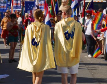
Photos courtesy of Ted Eytan (Originals: 1, 2, 3, 4)
The interactive below maps the places and spaces important to the LGBT community in D.C. over more than 50 years. The data is available through The Rainbow History Project, an organization dedicated to collecting, preserving, and promoting gay, lesbian, bisexual, and transgender history in D.C.
A Timeline of LGBT Places and Spaces in D.C.
Click locations for more information
Created by Kate Rabinowitz / DataLensDC for D.C. Policy Center
Photos courtesy of Ted Eytan (Originals: 1, 2, 3, 4)
Technical notes
Data was obtained through The Rainbow History Project’s Places and Spaces Database. Corrections or additions can be submitted to The Rainbow History Project. A decade shows all places open for any period of time across the decade. Where end dates were not provided for an institution the place was only shown in the decade it opened. Places located on the first block of O St SE, a block that no longer exists, appear on the map on the first street of O St SW. You can find complete code for this on my github page.
This post also appears on DataLensDC.
